
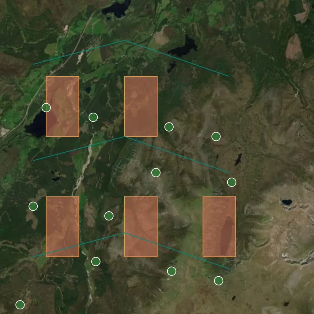
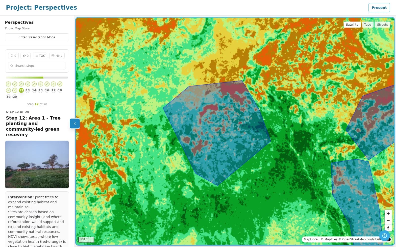
Walk through a map story
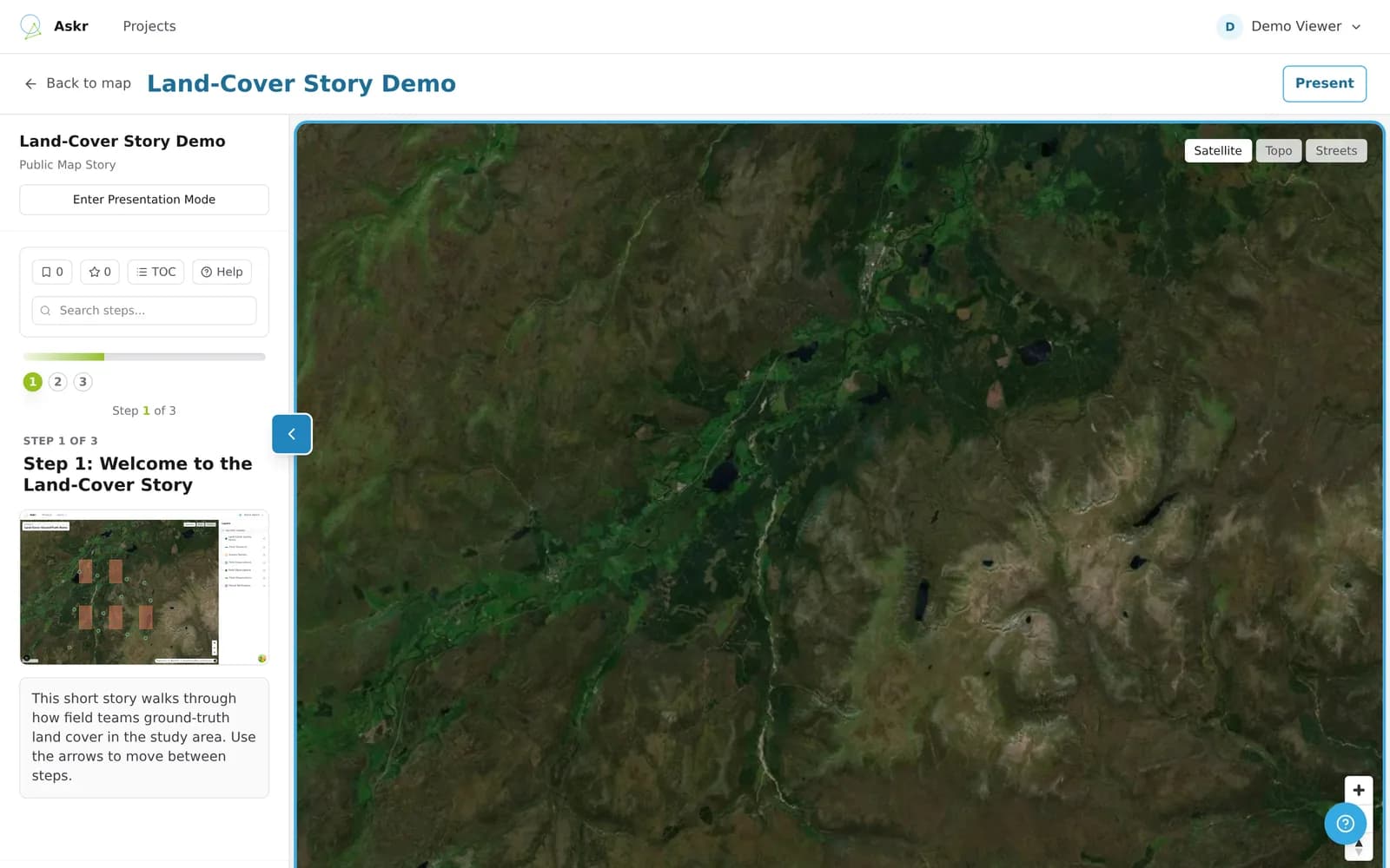
A map story pairs map views with written steps.
Open the map story (opens in a new tab)Askr is the web platform for geospatial projects and field campaigns. QuickBeam is the phone app your field team uses to collect and verify data, online or off. Both are built by Omanos Analytics.
Enter your credentials to continue
Bring your map layers together and build a survey for the questions you need to answer.
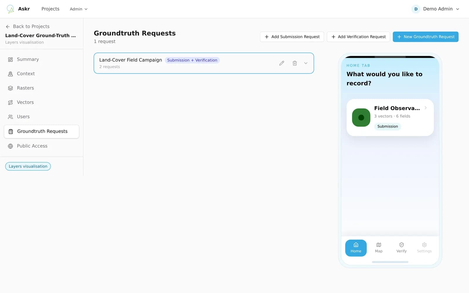
Assign a ground-truth request to your collectors and notify the team.
Record observations, photos and voice notes on a phone, even without a signal.
Check what came back, review feature history and share the results.
From the first map layer to the final field review.
© MapTiler © OpenStreetMap contributors
Open live examples and build a field form in your browser. No account needed.
A map story pairs map views with written steps.
Open the map story (opens in a new tab)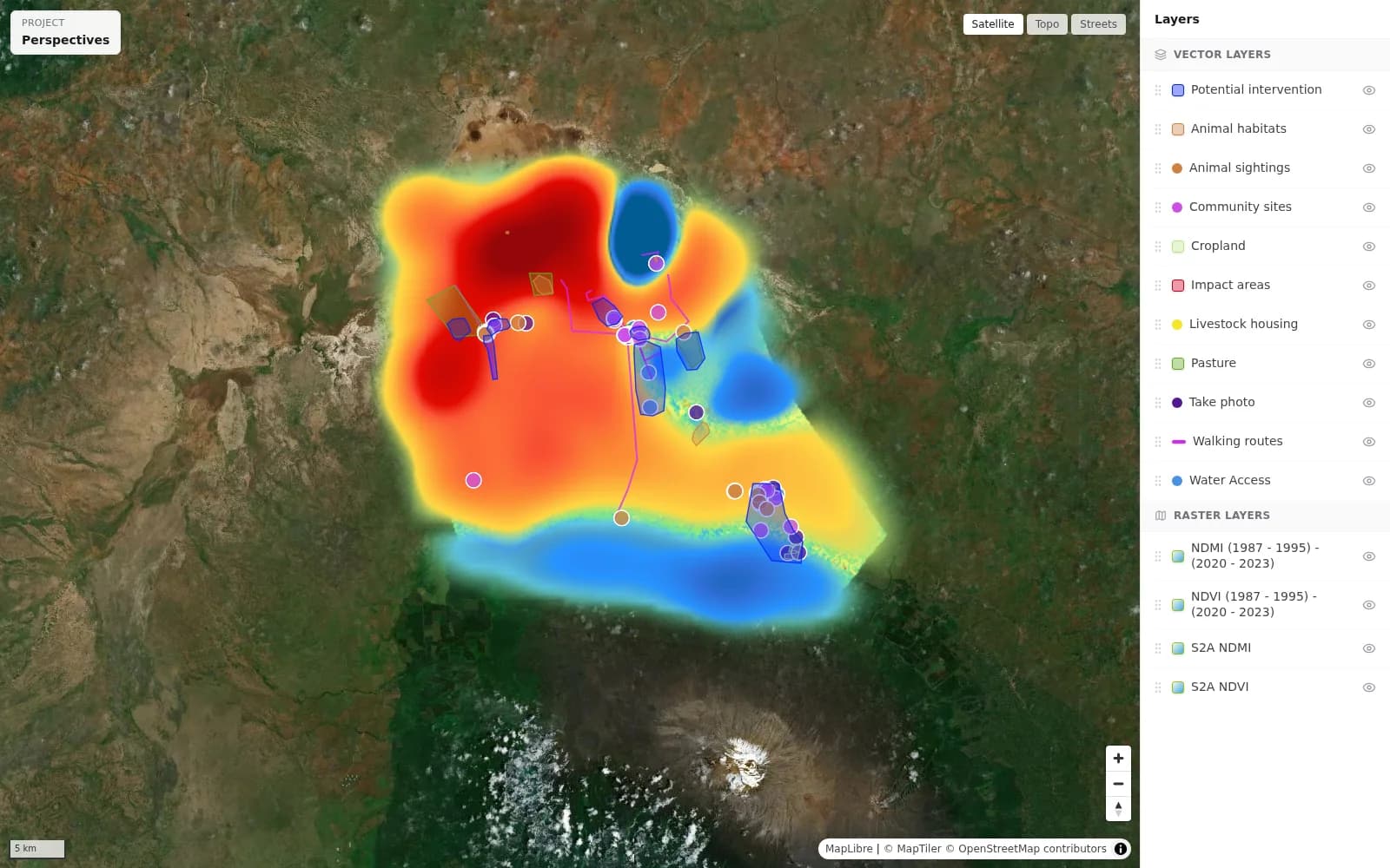
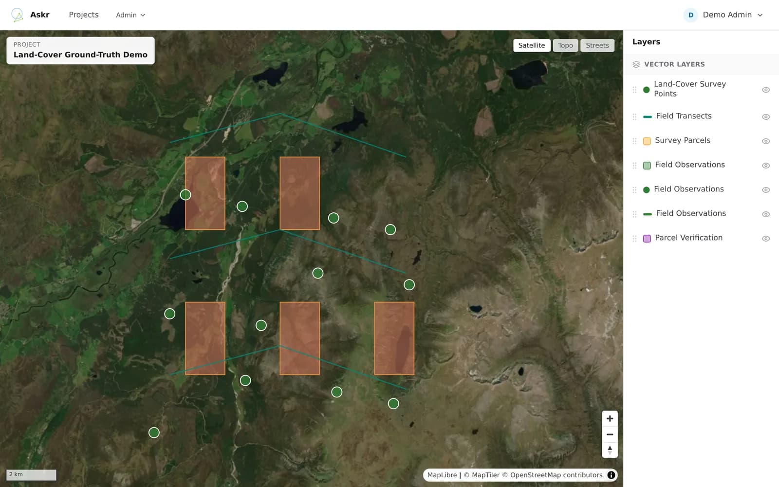
Pan the map, switch basemaps and turn layers on and off.
Open the project map (opens in a new tab)This is the form builder your team uses in Askr, loaded with the questions from the Farmers project in QuickBeam's guest mode. To fill the form in on a phone, open QuickBeam and choose Explore as guest.
 Land parcel or field8 questions
 Boundary feature6 questions
 Pest or Disease7 questions
 Task or action6 questions
Build the form in Askr
Your team fills it in with QuickBeam
Farmer's Name
Enter the name of the farm or farm owner
(Required)
Runs in your browser. Nothing is saved or sent.
 QuickBeam
The map meets the people who know the ground.
Collect and verify data on your phone, online or off. Made for people who are not necessarily GIS specialists. Find QuickBeam on the App Store as QuickBeam Map.
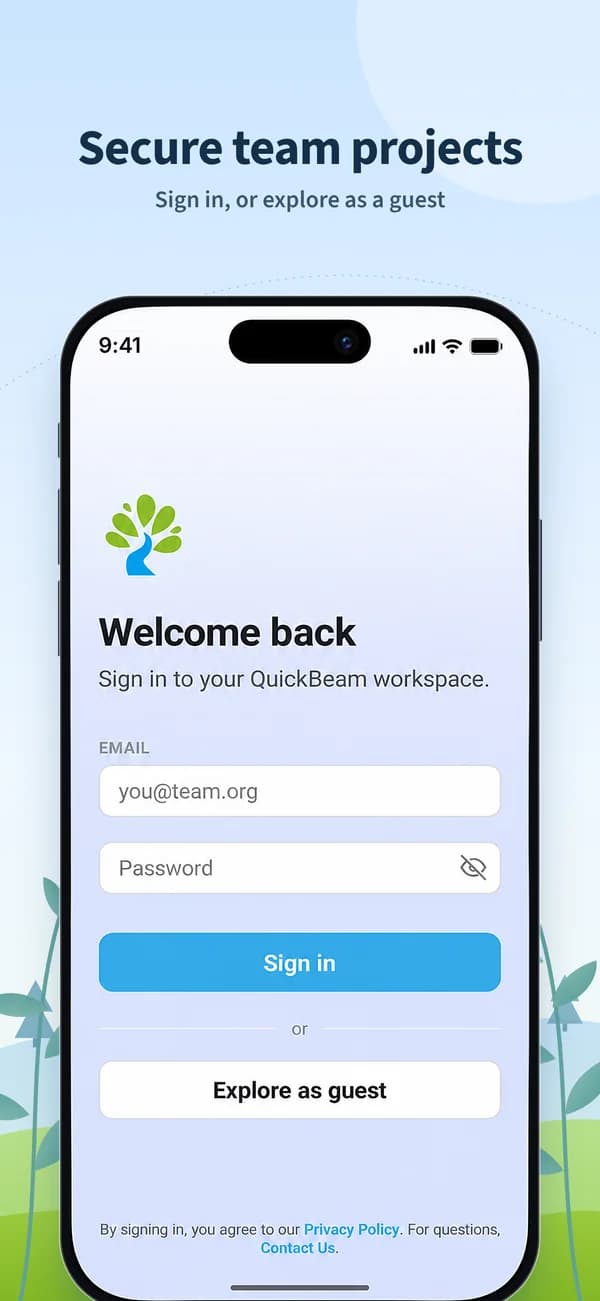
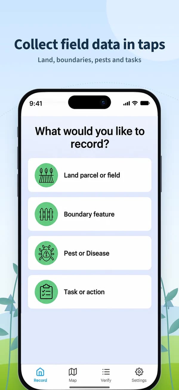
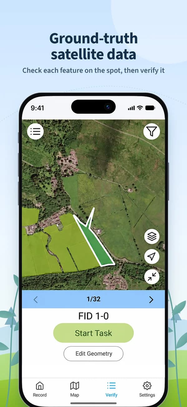
QuickBeam: sign in, record field data and verify features.
© MapTiler © OpenStreetMap contributors
Omanos Analytics
Omanos Analytics is a Glasgow-based space technology social enterprise. We combine satellite data analysis with community intelligence to help people understand the places that matter to them.
Askr and QuickBeam are our ground-data tools: a way to bring the view from above into conversation with what people see on the ground.
Suite 4A, Fairfield, 1048 Govan Road, Glasgow, G51 4XS, United KingdomAskr by Omanos Analytics is a web platform for geospatial projects and field campaigns. It brings map layers, survey forms, team assignments, review and sharing together.
QuickBeam is the companion phone app for collecting and verifying field data. It is listed on the App Store as QuickBeam Map and connects field observations with projects in Askr.
Ground-truthing means checking information on a map or in satellite data against observations made on the ground. It helps teams understand what the mapped information represents in the real world.
They are built for NGOs, space data providers, community groups, utility and infrastructure managers, and local and national government. Example uses include climate change impact monitoring, urban and rural change detection, community data collection and categorising land or assets. QuickBeam is made for people who are not necessarily GIS specialists, so community members, field workers and technical teams can all contribute.
You get verified, approved features with the photos and voice notes collected for them, plus a versioned edit history for each feature. Download the project data as GeoJSON and CSV, with photos, to use in your own GIS. Verified ground observations can also be used to update maps and as training data for AI models.
Yes. QuickBeam queues collected data on the device and syncs when a connection returns. Queued work survives app restarts, and you can download map areas for offline use.
Askr runs in a web browser. QuickBeam is available for iOS through the App Store, where it is called QuickBeam Map, and for Android through Google Play.
Contact Omanos Analytics using the enquiry form or email info@omanosanalytics.org to discuss access for your team. Existing users can sign in on this page.
Yes. The Try Askr yourself section has a public map story and a public project map to open, plus a form builder you can edit in your browser, with no account needed. QuickBeam also has a guest mode with demo projects. To try Askr with your own data, contact us.
Both products are built by Omanos Analytics, a Glasgow-based space technology social enterprise combining satellite data analysis with community intelligence.
Our privacy policy explains how Omanos Analytics handles personal data, including account information and contact enquiries. Contact enquiries are stored in our email logs indefinitely under the current retention practice.
Read our privacy policyA project in mind, an account question, or a team heading into the field? Tell us what you need.
Prefer email? You can always contact us directly.